Post 7. Last Occupants, 1890s-1930s
Post 7. Last Occupants, 1890s-1930s
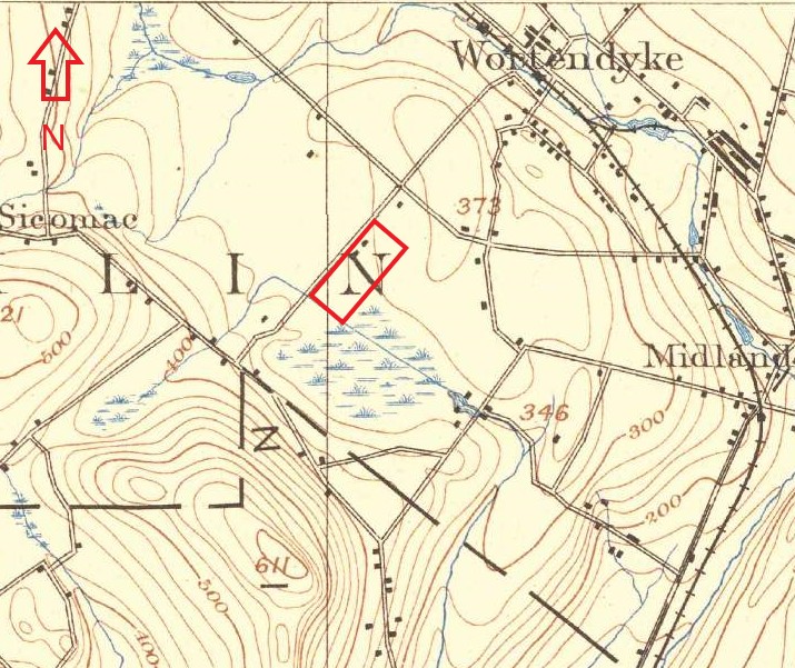
Two buildings appear on the project site on the USGS topographic map of 1892, conjecturally a house and barn. George Addy (b. 1822), a retired businessman, purchased the property that year, likely as a summer retreat and small farm. By April 1906, the 60-acre lot was subdivided and the 15 acres containing the project site was sold to William E. Wall, a silk merchant from New York City. Wall only held the property until July of the same year, selling it to Lula Smith Neville (b. circa 1867-d. 1951) Lula and her husband John James Neville (b. circa 1849-d. circa 1920) were an eccentric couple who married 1901 and never had children. From 1906 to 1917, the Nevilles maintained a large private zoo on the property. It housed bears, leopards, monkeys and other animals. Following the demise of the zoo, Lula Neville focused on breeding prize collies and often held fundraisers and auctions on the property for organizations such as the Animal Protective League.
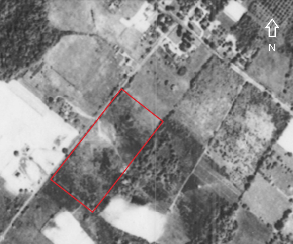
Following the death of John James Neville in the 1920s, the Neville estate subdivided the 15 acres into three lots. These lots included a small half-acre tract at the corner of Wyckoff and Cedar Hill Avenues containing the Neville house (non-extant), where Lulu lived until her death in 1951; the present-day 4.5-acre lot containing the Christian Reformed Church (conveyed 1947); and the present-day 10-acre lot and current project site. An aerial photograph of 1930 shows only the Neville house (former Van Horn residence), suggesting the old Daniel Rutan House, subject to the current survey, on the 10-acre lot had been removed prior to 1930.
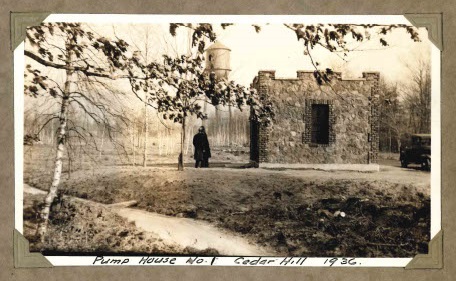
In March 1933, the Village of Ridgewood purchased the 10-acre property for the Ridgewood Water Department, which over the following years developed it into a park-like complex of six Gothic Revival-style well houses, an elevated storage tank of 150,000-gallon capacity and a winding service road that began at a stone gateway on Cedar Hill Avenue and passed over a man-made creek by way of a stone bridge. Pump House No. 1 stands near the area investigated as part of this archaeological study.